Monday, May 9, 2011

Zion National Park, Utah

We went camping this weekend in Springdale, Utah, just outside of Zion National Park.  It was a gorgeous weekend with consistently sunny weather.  We stayed at the Zion Campground RV Park located just half a mile from the entrance to the National Park.  The campground spots were tightly packed, but everyone in the park was extremely nice and we had a great time chatting with others about their adventures.  Some people park their big rigs here for the whole summer.  You can't beat the location.  We were lucky enough to get a spot right by the river - which happened to be raging this time of year at over 800 cfs.
We used to visit Zion on our family road trips from California to Utah, but I guess I had never really explored the hiking opportunities in the park like we did on this trip.  We logged in 38 miles over five days.  It was amazing.  The variety of the terrain and scenery was surprising and the vistas were just spectacular.  I can't wait to get back and do some more exploring and hiking in the backcountry.

On one of our hikes, we managed to make it to the top of Angels Landing, a ridiculous hike up a fin of red sandstone with 2,000' drop offs on either side.  It actually took me two tries to make it to the top.  The day before, I chickened out.  My pride got the best of me though, and I had to come back the next day to conquer the beast.  Some people scramble up this precipice like it is candy, while others of us slink up it like primordial monkeys, keeping our limbs and gravity as low as possible to the ground.  I'm just glad I lived to tell about it. 


Near the top of Angels Landing, where the views of the cliff walls and Virgin River Canyon below was just spectacular, we overheard a woman talking to her friends.  I just loved her comment.  She said, "I'm not an environmentalist, but I'm glad someone is."  Classic.


My favorite hike of the weekend was the out and back on the West Rim trail.  This is one of those epic hikes through red rock cliffs, white sandstone rims, and 1,000' waterfalls glittering the canyon walls.  Amazing scenery.  Parts of this trail are paved and even chiseled out of the cliff wall as leftover remnants of the work done by the Civilian Conservation Corps (CCC) back in the 1930's. 
Mary heading up the West Rim Trail
View of the West Rim from Telephone Canyon
View from West Rim Spring
I couldn't pass up this shot.
Pause for Peace.

For our final hike, we did Observation Point.  This is an 8 mile hike with about 2,100' of elevation gain through Echo Canyon and then out onto a windy ridge.  The trail seemed interminable.  The winds up on top were so strong we though we might get blown right over the edge.  Needless to say, we did not spend much time at the top!

Lisa at the top of Observation Point
What an amazing place. 
Lisa and Mary - Self Portrait

Sunday, May 1, 2011

San Rafael Swell, Again

We made a quick trip down to the Swell to retrieve the T@b. Luckily she was sitting right where we had left her, with a few more drainage trails from all the rain. We did a great hike along the San Rafael River from the Bridge to the mouth of the Little Grand Canyon.
We made it in about 3 1/2 miles and then turned around. Next time we will come in from the Fuller Bottom trailhead to check out the other side of the trail. The scenery along the river was beautiful.  
 We are starting to appreciate what this place has to offer (other than rain and wind). It was also amazingly serene and quiet this time down. I think last weekend was unusually crowded since it was Easter Weekend. We pretty much had the place to ourselves this time. 

Sunday, April 24, 2011

San Rafael Swell, Utah


We went camping in the San Rafael Swell this weekend.  Thanks to a tip from some friends, we found a great campsite off of Mexican Mountain Road tucked up into the red cliffs with a fantastic view of the river valley.  It was a rainy weekend with temperatures cooler than normal for this time of year.  That seems to be the weather report for this entire spring.  We woke up one morning to snow on the ridges!  Despite the weather, we managed to do some exploring and to get a few hikes in between the storms. 


Our first hike was a quick out and back to the river overlook on the Lockhart Box trail. This was a pretty primative trail with required route finding skills near the top, but the overlook was great. Some people do this as a loop trail with a 10 mile float down the river and a two mile hike back to the road on the Upper Black Box trail.


Saturday we waited for the rain to clear and then drove out to the Buckhorn Wash art panel to check out some great pictographs from the Barrier Culture. These pictographs are thought to be about 2,000 years old. It is amazing that they are still in such good shape after thousands of years.


After the pictographs, we drove out in the mud to the Wedge Overlook.  This view almost rivals the Grand Canyon.  It really is spectacular.  And definitely not as crowded on a chilly spring morning.  As you can see from the pictures, we are pretty bundled up for a trip down south in the end of April.  We have the gear though, so might was well use it.
After a quick lunch back at camp, we drove out to do the Calf, Cow and Pine Canyon hikes.  These little out and back canyons are great.  I would definitely do these hikes again.  Calf Canyon seemed a little longer than the book said.  Combined, these canyons are about a 6 mile hike.  The afternoon weather cleared enough for a really nice hike.


When we were just finishing the Calf, Cow and Pine Canyons hike, we passed some people who said they just saw a bighorn sheep cross the path and climb up the other ridge.  We rushed up the trail to see if we could get a glimpse of the bighorn, but he was gone.  We did get to see a really nice rainbow though on on the drive back to camp.
 

Sunday it rained again.  Harder than the day before.  The roads were a complete muddy mess.  We decided to leave the T@b and just head out in the truck.  We'll have to come back next weekend to pick her up, but it was nice not to have to worry about getting stuck in the mud. 

Saturday, April 16, 2011

Hiking, Hiking, Hiking

This T@b year is going to be dominated by our quest to hike as much as we can.  We have signed up for a trip to Tanzania to climb Mount Kilimanjaro in September.  Kilimanjaro is about 19,300' high, so we will need to do some altitude training as well.  If anyone has any favorite camping spots and hiking trails in Colorado that they are willing to share that would be great.  We are looking to do some 14,000' peaks in July or August.  Until then, we will be taking the T@b out to the local mountains in Utah as much as we can.  We just have to wait for the record snow pack to melt. 

You can track our training progress at my other blog kilimanjambo.blogspot.com

Friday, March 11, 2011

Yellow Cat Mining District, Utah

Have you already been to Moab, Utah?  Numerous times?  Want something new?  Try the Yellow Cat Mining District located northeast of Moab.  This place is deserted and has some amazing and odd scenery with reminders and relics from the by-gone era of the uranium mining boom.  Some of the mining claims are still active, but the place seems like a ghost town.  There are a ton of dirt roads to explore heading in any direction you want to go.  We picked up some USGS topo maps to keep track of our location and travels, although they were missing a number of existing roads which made route finding difficult in some places.  If you only want to buy one quadrant, buy the Mollie Hogans map.  This one shows most of the hot spots and larger mine locations.  There is a great website with downloadable versions of the topo maps at the Utah GIS Portal:  http://gis.utah.gov/download 

You can access the Yellow Cat Mining District from a number of different directions.  We came in off of I-70 taking Exit 193 - Yellow Cat Road.  We camped about 7 miles in from the highway near the Telluride Mine.  The first day we explored the fun remnants around the Parco Mine area. 

We took a nice hike along some 4WD dirt roads into the backside of Arches National Park.  It was probably a 3 mile hike from camp to the park boundary.  Lots of prickers and thorns on the trail, but a nice hike.  Riley got a little tired of getting thorns in her paws, so she got a shoulder ride for a ways.  She is getting pretty good at perching herself on the backpack.

The second day we tried to find Yellow Bird Mine.  This is where the maps seemed unreliable.  After a few hours of hiking and numerous mine shaft remnants, we decided to call it good.  I'm not sure we actually saw Yellow Bird Mine, but the adventure was fun anyway.

We would definitely come back to this area.  We only saw one other couple in the area the entire weekend. This is a great place if you want some space and enjoy the open vistas as a change of scenery from the beautiful red rock cliffs of Moab. 


Saturday, October 9, 2010

Hittle Bottom, Moab

For our final camping trip of this maiden year, we went to Moab.  This is our favorite biking spot.  I just love the feel of the redrock country and the great geologic features.  Combine that with the blue skies and the winding Colorado River, it is gorgeous.  We were like old pros this trip.  Most of the campgrounds in this area are on BLM land, which is on a first-come basis.  We had to drive through a few campgrounds before we found a spot at Hittle Bottom Campground right along the Colorado River off of Highway 128.  Seems like this is what most people do, as a number of cars circled camp that night looking for a spot.  We were glad to have our and to be set up before dark. 

On our first day, we road about on a portion of the Kokopelli Trail.  It was a pretty easy ride along a dirt road.  We had the road to ourselves.  It is amazing how desolate some of the back roads can be, even on a busy weekend in town. 

The next day we did the famous Onion Creek ride just a few miles down the river from the Kokopelli Trail.  Onion Creek is so named because of a malodorous sulfur smell halfway through the ride.  It also has 23 river crossings through chain and gear eating water.  My crank actually seized up one time after doing this ride.  Definitely clean your bike after this one.
Mary and Darwin on one of the 23 river crossings.
Well, it was another great weekend in sun.  And a great maiden year for the T@b.  We'll have to winterize her when we get home, but we have plenty of fun memories to get us through winter.  I can't wait to get out for another season.  Let's hope winter goes by quickly.   


Thursday, September 23, 2010

Goblin Valley


Fall is upon us and winter is knocking on our door.  But, we are not ready to give up on the camping season just yet.  In order to stretch the season, we headed south to Goblin Valley last weekend with a couple of friends.  It was actually unseasonably hot with temperatures in the mid 90s.  Maybe next year we will put this on the calendar for October rather than September. Despite the heat, we had a great time exploring the hoodoos and hiking through the surreal landscape. 

The campground was pretty nice.  No water or electrical hookups, but each site had its own shaded gazebo with a picnic table and fire pit.  The shaded gazebo came in handy for the hot afternoons.  We stayed in site #14 which was located right up against the eroding cliffs.  I don't think there is a bad site in this campground.  

On Saturday we hiked from the campground to the Valley of the Goblins.  It was about a mile hike through some pretty odd landscape.  It felt like we were in an ancient obsolete drainage.  It was worth the hike in the heat to see the view of the Goblins.  This is a shot from the view area.

On Sunday we tried to hike the famous Little Wild Horse slot canyon trail.  We thought our dogs were pretty adventurous, but even they have their limits.  After hauling Darwin up and over 7-foot ledges and squeezing Riley through slots too narrow for your shoe, we decided to turn around.   

We will definitely have to come back sometime soon (without the dogs) and finish this amazing hike.  Although, I do think Riley had a pretty good time.  This is a great shot of her slung over Mary's shoulder.


Green River State Park


On our way to Goblin Valley, we stayed the night at the Green River State Park Campground in Green River, Utah.  Luckily, we had made reservations for the night.  When we arrived, the usually sleepy town was hopping.  Turns out it was Melon Days in Green River.  They had a fair set up in the main park and a parade planned for Saturday morning.  It was fun to see the town come alive.


We usually drive straight past Green River on Interstate 70 on our way to Moab.  Green River is one of those little towns that used to be on the main drag before the Interstate was built.  It is a bit of a ghost town now.  Driving the business loop through town is like a step back to the 50s or 60s with great antique neon diner and motel signs rusting in the wind...memories of days gone by.  We will look upon Green River a little more fondly now that we have had time to stay and smell the melons.


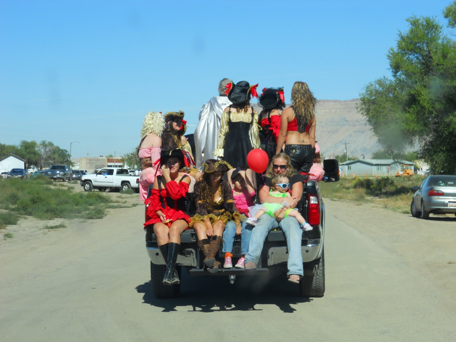
We missed the parade, but managed to head out of town just in time for the traffic it stirred up.  I love this shot of one of the participating floats.  Looks like we missed a good one.

Friday, September 17, 2010

We Bought a Truck


Well, we thought we could pull the T@belot with the Subaru, and we probably could have...but, I have always wanted a truck and we just couldn't resist this fantastic little red Ford Ranger.  Ford has been making the Ranger since the early 1980's and they haven't really changed much in its design over the last 30 years. That is actually what we like about the Ranger.  It is retro in a stylish way and the last of the "little trucks."  If you haven't noticed, trucks keep getting bigger and bigger.  The Ranger is pretty tiny compared to the new comparable "small" trucks such as the Toyota Tacoma or Nissan Frontier.  But it does come with a standard 6' bed, a 4.0 liter V6 engine. and 16" wheels. 

This truck looks brand new.  You can't tell from the pictures, but it is actually a 2004!  The previous owner traded it in for a bigger F-150 at our local Ford dealer and we happened to be cruising the lot at the right time.  The truck hadn't even been detailed or invoiced.  It only has 25,000 miles on it.  That is only 4,000 miles a year if you do the math.  We are pretty excited to have a truck.  I have already taken a load of stuff from the garage to the thrift store and another load of tree limbs from our neighbor's yard to the dump.  It is great to be able to load up the back and haul stuff away.  We can't wait to try out the new truck with the T@belot.  Can you believe how great it is going to look with the red accented T@b?

Thursday, September 9, 2010

Payson Lakes Campground

We went camping with the Hula Hoops over the Labor Day holiday weekend to Payson Lakes Campground in the Uintas.  This campground is off of the Mt. Nebo scenic loop road.  We stayed at Group Site C near Box Lake.  It was a nice site at the end of road.  The area wasn't too crowded for a holiday weekend (other than the family reunion with about 100 people right next to us in Group Site B).  
Early Morning Shot of Box Lake with
Loafer Mountain in the Background
The Hula Hoops really know how to camp.  We were treated to crushed ice strawberry daiquiris and pina coladas during the day and lobster with herbed mashed potatoes for dinner.  It was fabulous.  I should also mention the arugula salad with goat cheese and beets - fresh from the garden.  We certainly ate better on this trip than we do at home.  For this group, camping does not include compromise. 


Mary and I did a couple of hikes over the weekend.  On Saturday, we hiked part of the Loafer Mountain trail.  It was steep, dusty and hot.  We both agreed that this was not a trial we need to do again.  Sunday we did the Shram Creek trail, which was great.  We accessed this trail off of a dirt road.  It was a north facing trail with a lot more tree cover and great views.  We only saw two other people in the four hours we were out.  The trailhead access would also make a great camping site for next time we come out. 

  
This area isn't as pretty as the upper Uintas off of Mirror Lake Highway, but it is really close to home and a little warmer due to the lower elevation.  This would be a good place to come back in the early spring or late fall.  Now that the Labor Day holiday is behind us, I can feel our first camping season slowing coming to a close.  We are still hoping to get out a couple more times, but fall is upon us.